Typical place in a graph: after the base shape, usually followed by erosion
Terrace turns slopes into steps. The land is cut into levels a set number of meters apart, each with a tread and a riser, like sedimentary rock layers, mesas and buttes, river terraces or farmed hillsides. You can limit the steps to a height band, to gentle or steep ground, or to a mask. Two outputs mark where it applied and outline each step, for texturing the risers as rock.
When to use it
Layered rock: canyons, mesas and badlands where hard and soft layers weather into steps.
River terraces and stepped hillsides; with flat treads, rice paddies or stylized farm terraces.
Strata lines across a mountain, combined with erosion.
Masks for texturing: rock on each riser (Outline), or only where terracing applies (Mask).
Not for: a single flat level (use Flatten); a stepped pyramid from a shape (use N-gon or Shape, then Terrace).
Inputs
Slot
Type
Required
What to connect
Height
Mask
Yes
The terrain to terrace.
Mask
Mask
No
Where to terrace: 1 fully, 0 not at all, values between blend with the original. With nothing connected, it applies everywhere (subject to the height and slope limits).
Outputs
Slot
Type
What it holds
Height
Mask
The terraced terrain.
Mask
Mask
Where terracing applied, combining the Mask input, the height limit and the slope limit. Only computed when something is connected.
Outline
Mask
A band along each step, at its foot or its top (see Outline), within the area that is terraced. Use it for rock on the risers. Only computed when something is connected.
Properties
Terrace
Property
Default
Range
What it does
Step Height
5
0.1 and up, meters
Height of each step. Small values make fine strata lines; large values make big benches.
Remap
From 0.35 to 0.65, easing
Curve from 0 to 1
The profile of each step. The horizontal axis is the original height from the bottom to the top of a step, the vertical axis where it ends up inside the step. A flat curve makes flat treads with vertical risers; the default rises a little across the tread, so each step is a gently sloping bench with a sharp riser. A straight diagonal line from (0, 0) to (1, 1) changes nothing.
Height Mask
Property
Default
Range
What it does
Enable
Off
On, Off
Limits terracing to a height band.
Min Height, Max Height
0, 1000
0 and up, meters
The band, in meters above the terrain floor. Outside it, the land stays untouched.
Blend
Flat at 1
Curve from 0 to 1
Strength across the band, from Min Height (left) to Max Height (right). Fade the ends to make the terraces appear gradually.
Slope Mask
Property
Default
Range
What it does
Enable
Off
On, Off
Limits terracing to a slope range, measured on the input height.
Min Angle, Max Angle
0, 90
0 to 90 degrees
The slope range. Gentle ranges suit farm terraces; steep ranges suit rock bands on cliffs.
Blend
Flat at 1
Curve from 0 to 1
Strength across the range, from Min Angle (left) to Max Angle (right).
Outline
Property
Default
Range
What it does
Position
Start
Start, End
Where the Outline band sits in each step: Start at the bottom of the step's height range, End at the top.
Tolerance
0.2
0 to 1
Width of the band, as a fraction of a step.
Common properties
Property
What it does
Id
The node's unique name in this graph, shown for reference. You cannot edit it. Scripts and the AI workflow CLI use it to find the node.
Resolution
How detailed this node's result is, in texels across the biome. Relative To Main Input (default) matches the height connected to Height, times the multiplier below it. Relative To Graph follows the biome's Canvas Resolution instead. Absolute sets an exact size. Risers are only as sharp as one texel, so a low resolution makes rough, jagged steps. Absolute is limited to 32 to 512 in Vista Personal and 32 to 4096 in Vista Indie and Pro.
Split Execution
Lets this node run over several frames so the editor stays responsive during long generations. It only works when Allow Split Execution is on in the graph settings. This node finishes in one step, so splitting only adds a short pause around it; leave it off.
Bypass
Skips the node. The input height passes through unchanged, and the two masks are empty.
Examples
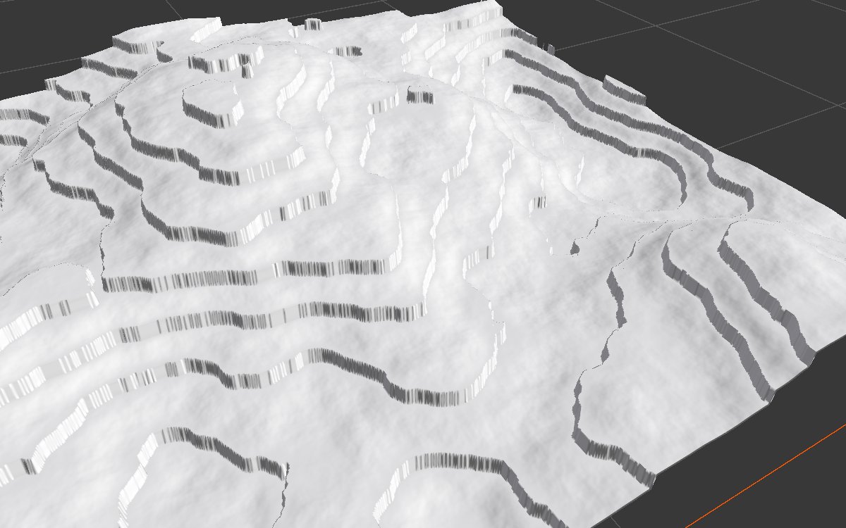
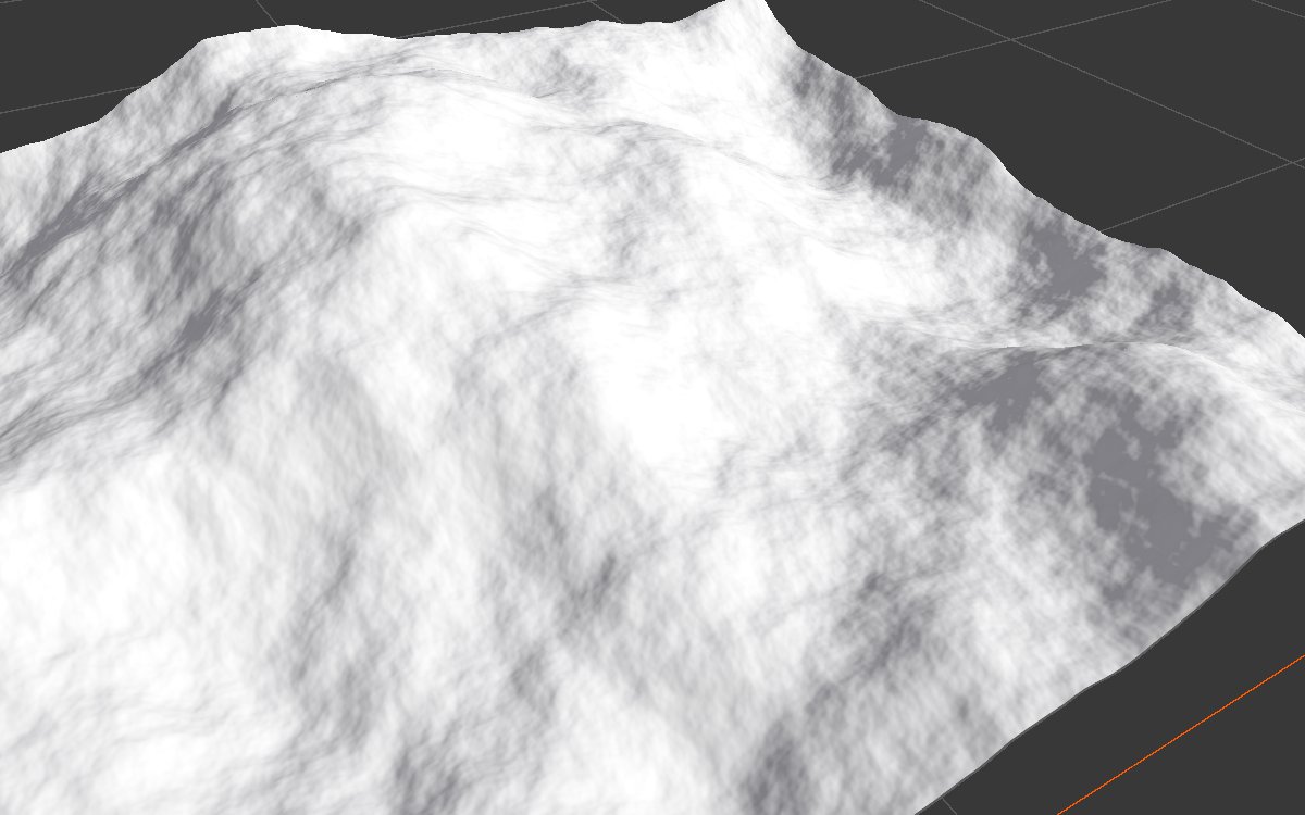
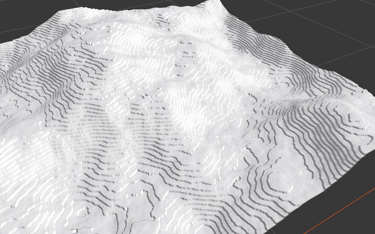
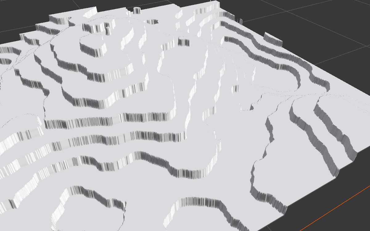
All examples terrace the same Noise (Scale 600, Seed 128) on a 1024 × 1024 m biome with a terrain height of 400 m. Values not listed are the defaults. The 3D views are close up.
Before (node bypassed)
Default: steps of 5 m, like fine strata lines.
Step Height 25: large benches with sharp risers.
Step Height 25, Remap flat at 0.5: perfectly flat treads with vertical risers, a stylized look.
Height Mask on, 100 to 250 m: steps only in that band; the summit and the floor stay smooth.
Slope Mask on, 0 to 20 degrees: only gentle ground is terraced. Since the slope is measured before terracing, the edges of the terraced areas look chopped.
Outputs
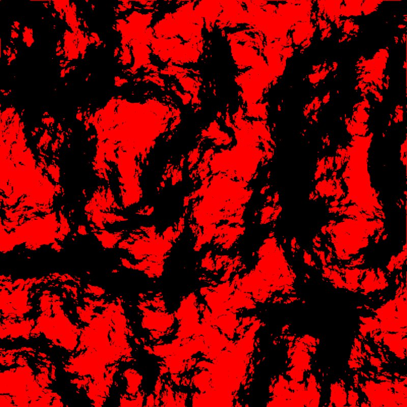
Mask (Slope Mask 0 to 20)
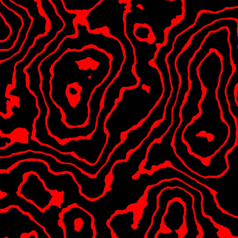
Outline (Step Height 25)
Mask shows where the slope limit allowed terracing. Outline draws a band along the foot of every step, like contour lines; use it for a rock texture on the risers.
Recipes
Layered canyon walls: base shape → Terrace (Step Height 15 to 30) → Hydraulic Erosion 2 → Thermal Erosion 3. Erosion breaks the regular steps into natural ledges.
Strata at two scales: two Terrace nodes in a row with different Step Height (such as 30 and 7), then erosion, for big benches with fine layering.
Rock risers:Outline → Blur → weight of a rock texture layer.
Farm terraces:Remap nearly flat, Slope Mask on gentle slopes, with a soft Blend at the high end.
Tip
Terrace on its own looks artificial. Chain two with different step heights, and erode afterwards, for natural rock layers.
Note
Step Height and the height limits are in meters, measured on the real terrain height. Changing the terrain height changes how many steps fit.
Performance
Very cheap: one quick GPU step, plus one for each mask output you use.
Per texel: within each step, the fraction f = (h - floor) / step → remap(f) → lerp(floor, ceil, remap); blended with the original by mask = heightBlend × slopeBlend × Mask input.