Import Data From Other Software
Use this path if your terrain source comes from software outside Polaris.
Common examples:
- RAW heightmap files
- texture-based terrain data
- terrain meshes exported from DCC or terrain tools
Where to start
Open the Wizard from:
GameObject > 3D Object > Polaris > Terrain Wizard
Select Use Existing Data.
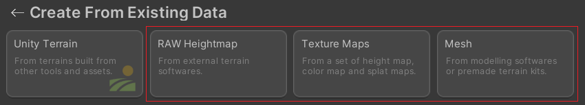
Then choose the source type that matches your files:
- RAW Heightmap
- Texture Set
- Mesh
RAW Heightmap
Use this when your source is a .raw, .r16 heightmap file.
This path imports terrain height into Polaris. After the heightmap is in place, you can optionally import a texture set as a second step.
Texture Set
Use this when your source data is a set of textures such as height map, albedo map, metallic map, hole map, or splat control maps.
Mesh
Use this when your terrain comes from mesh geometry exported from modelling software or premade terrain kits.
This path samples the mesh and converts it into Polaris terrain height data.
Note
Mesh import will not produce a 100% identical copy of the original terrain. Polaris only samples the source mesh height, then recreates the result using the Polaris geometry engine.
Next step
After the import is complete:
Immediate cleanup
- Cleanup source mesh object placed in the scene, if any.
- Check terrain scale, coverage, and elevation range
- Set terrain material depending on your style.